Service · · 1min read
Relive your rides with Relive
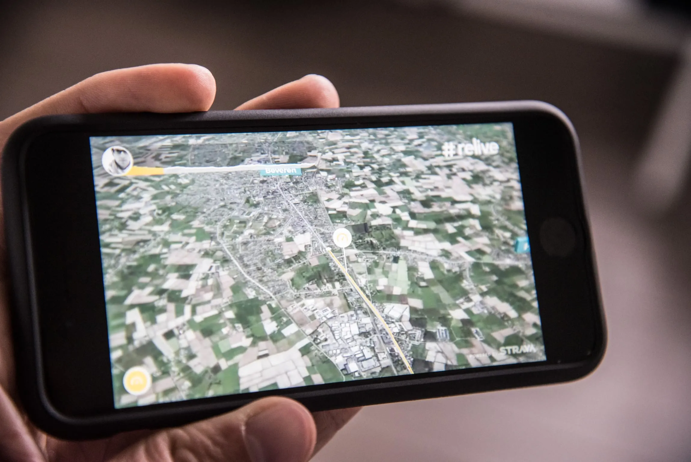
You know them: the professional fly-over maps you see on television to give you a feel for the route of the Grand Tours. Often to show just how hard that hors catégorie col is and exactly when the riders hit it. Beautiful.
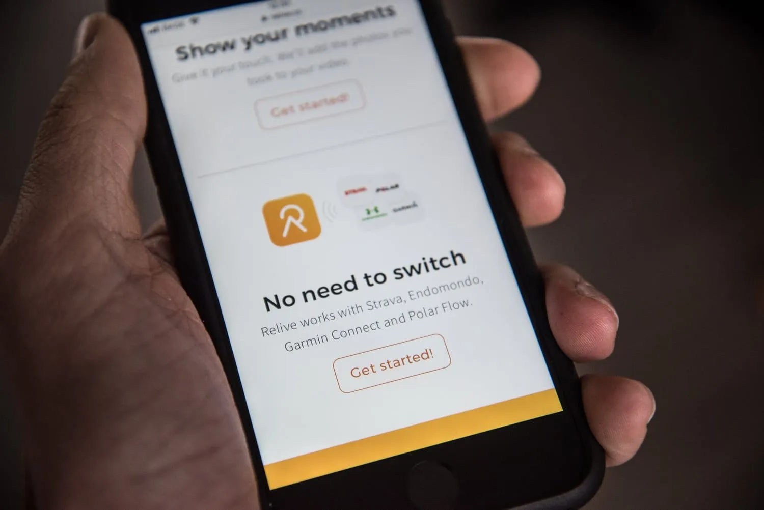
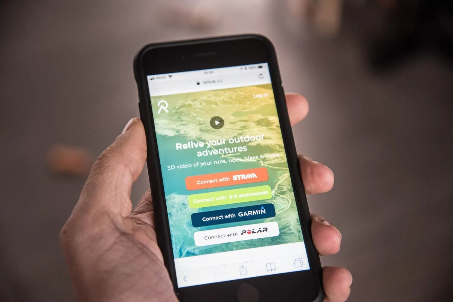
Well, you can now get that kind of overview of your own rides too, with Relive. It is simple. You connect your Strava, Garmin or Polar account, and after the ride the video lands straight in your inbox or shows up in the app. Nice.
In the Low Countries it is less spectacular, because the stages are flat. Once you start climbing, though, you really see the cols rise up in 3D, and that makes it a lovely way to share your memorable rides.
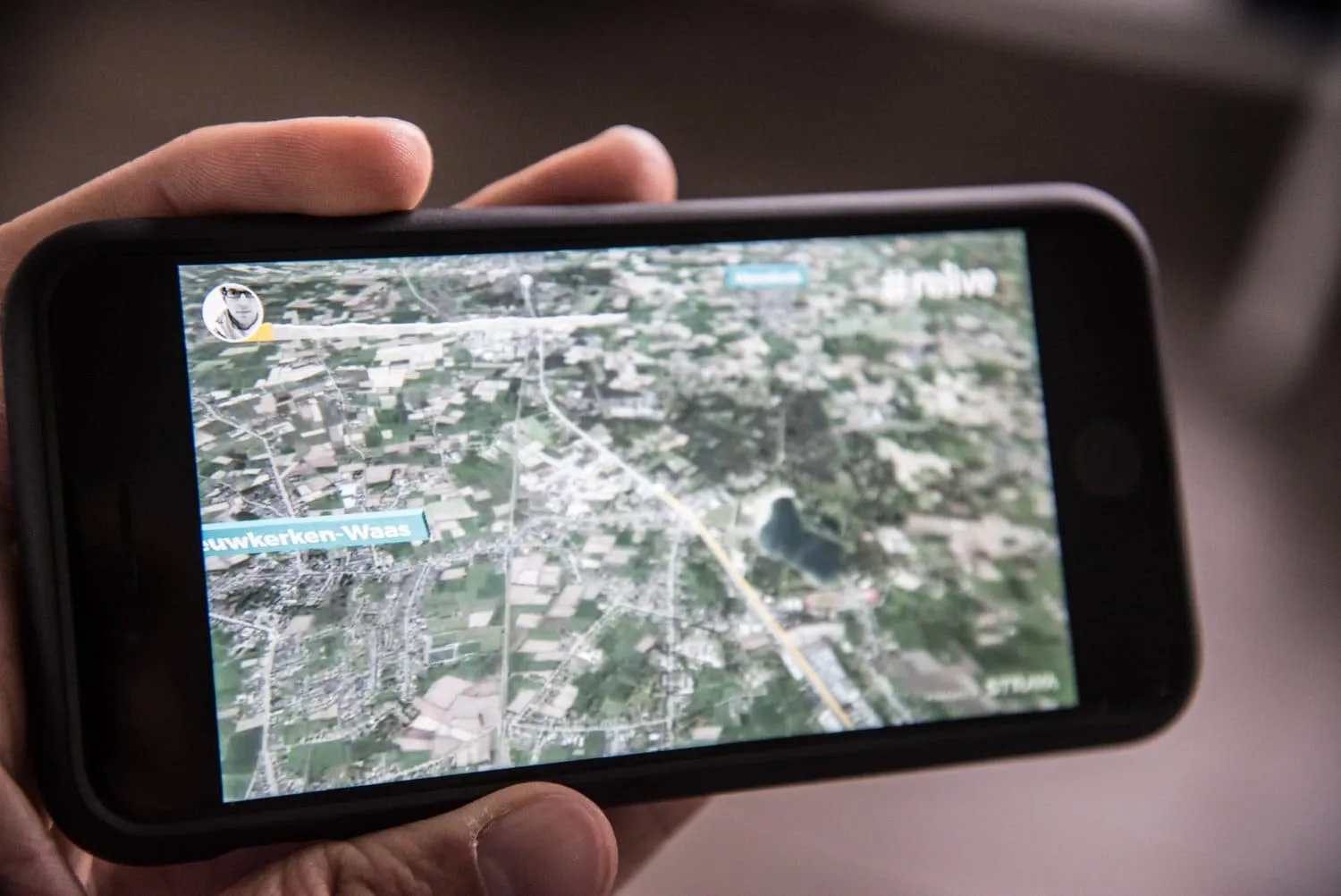
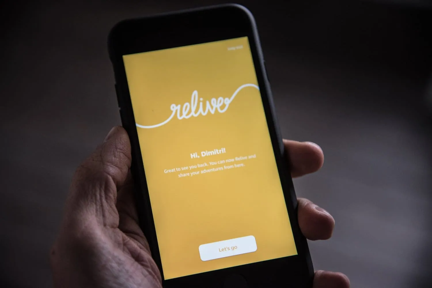
It is not just the route that gets shared. Any photo you take along the way also appears on the route. Your top speed gets marked on it too.
It is not only for cyclists. Walkers, runners and hikers can enjoy the same visualisations. You can try it all for free on the Relive website, and their Instagram shows plenty of inspiring examples. What is stopping you?
Comments
No comments yet. What do you think?