Travel · · 4min read
Ola Alicante – riding between the sea and the hills
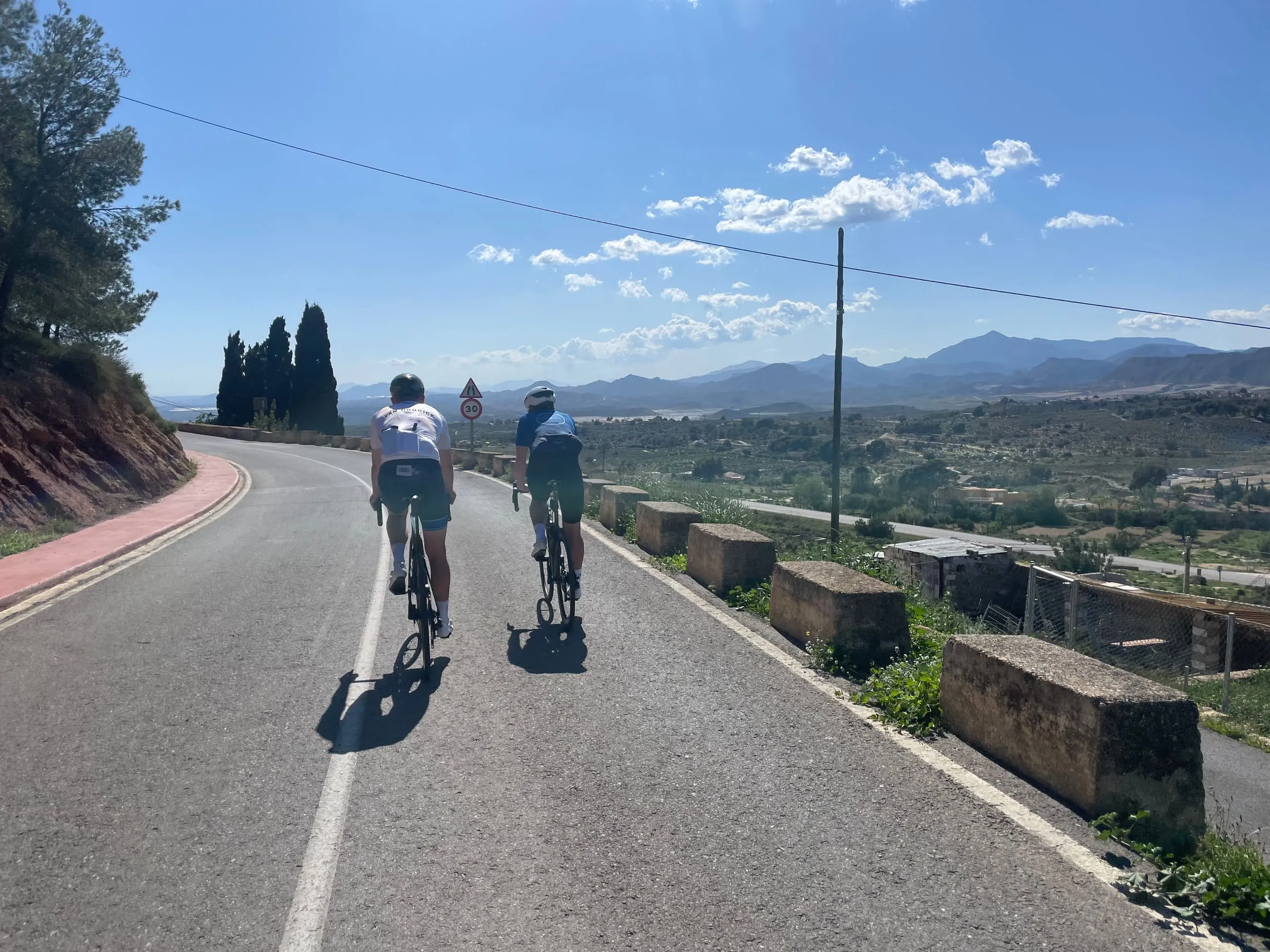
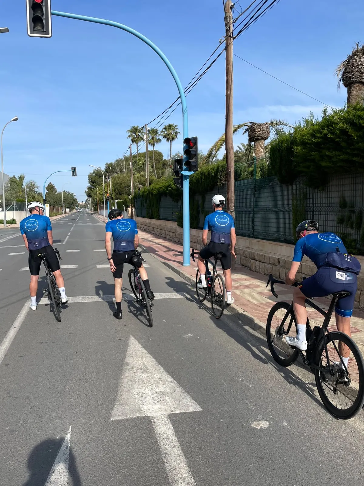
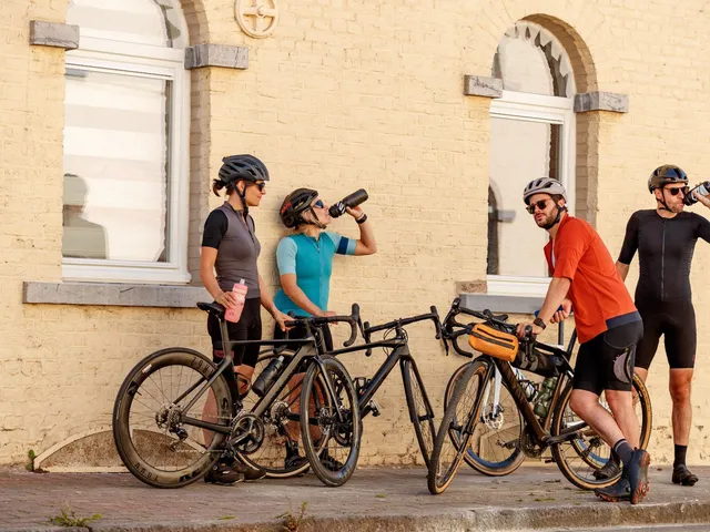
Riding in Alicante with a group of mates is about as good as it sounds. Planning a cycling trip to kick off the season has become a good yearly habit. After Lanzarote, Mallorca and Tenerife, this year it was Alicante’s turn: a city squeezed between Murcia and Valencia, right on the Mediterranean.
Some cycling destinations take a while to make sense. Others you feel in the first kilometres out of town. Alicante is one of the second kind. Not because everything is spectacular straight away, but because the rhythm clicks quickly: sun on your skin, the sea somewhere behind you, dry roads ahead, and the quiet knowledge that a day on the bike here can easily grow bigger than you planned.
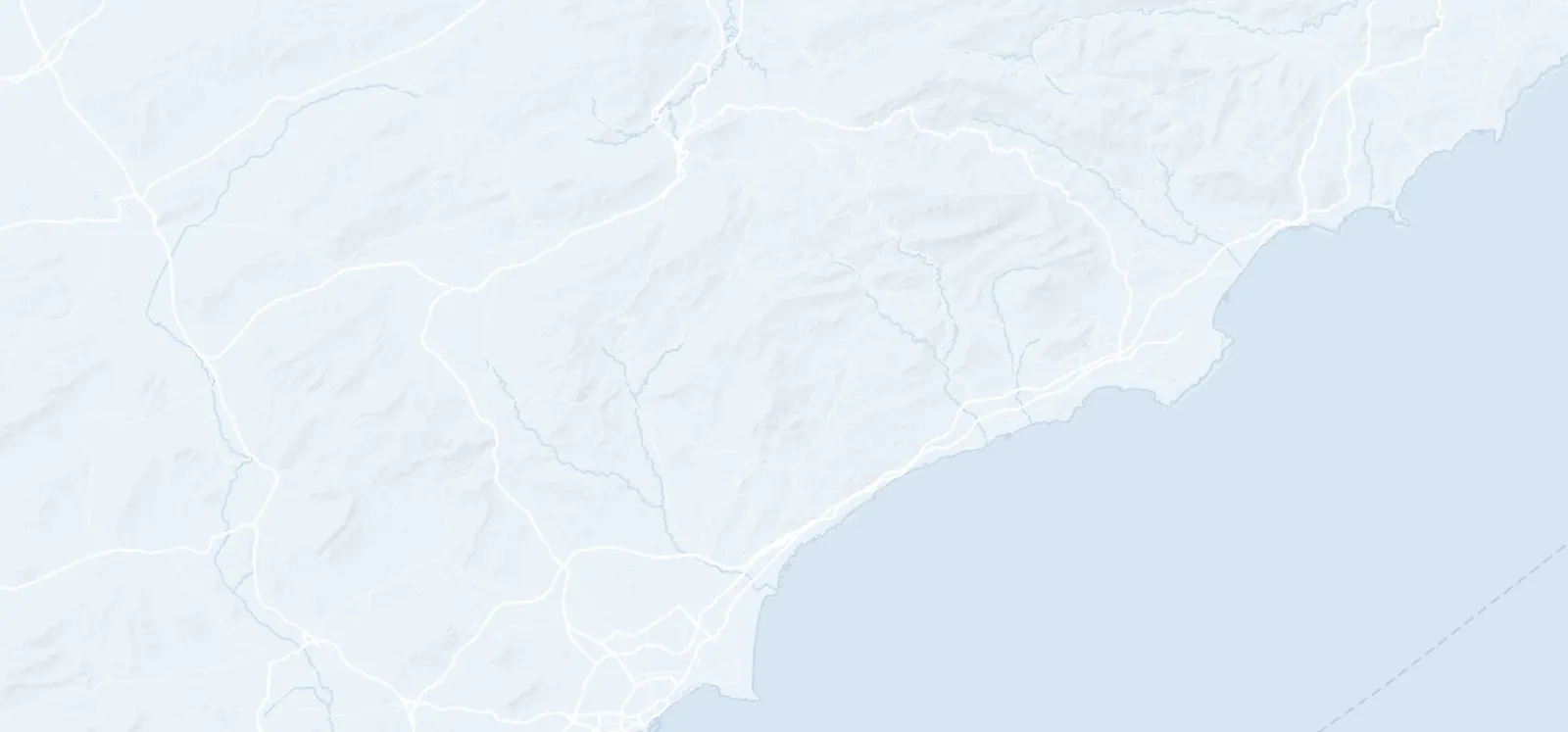
At first, Alicante may sound more like a beach holiday than a proper cycling destination. Until you notice how quickly the city gives way to open roads, rougher hills inland and villages where the day seems to run at a different pace. That is what makes this trip interesting. As an escape to better weather, but also as a place where riding, food, rest and the odd detour fall into place without effort.
Arriving
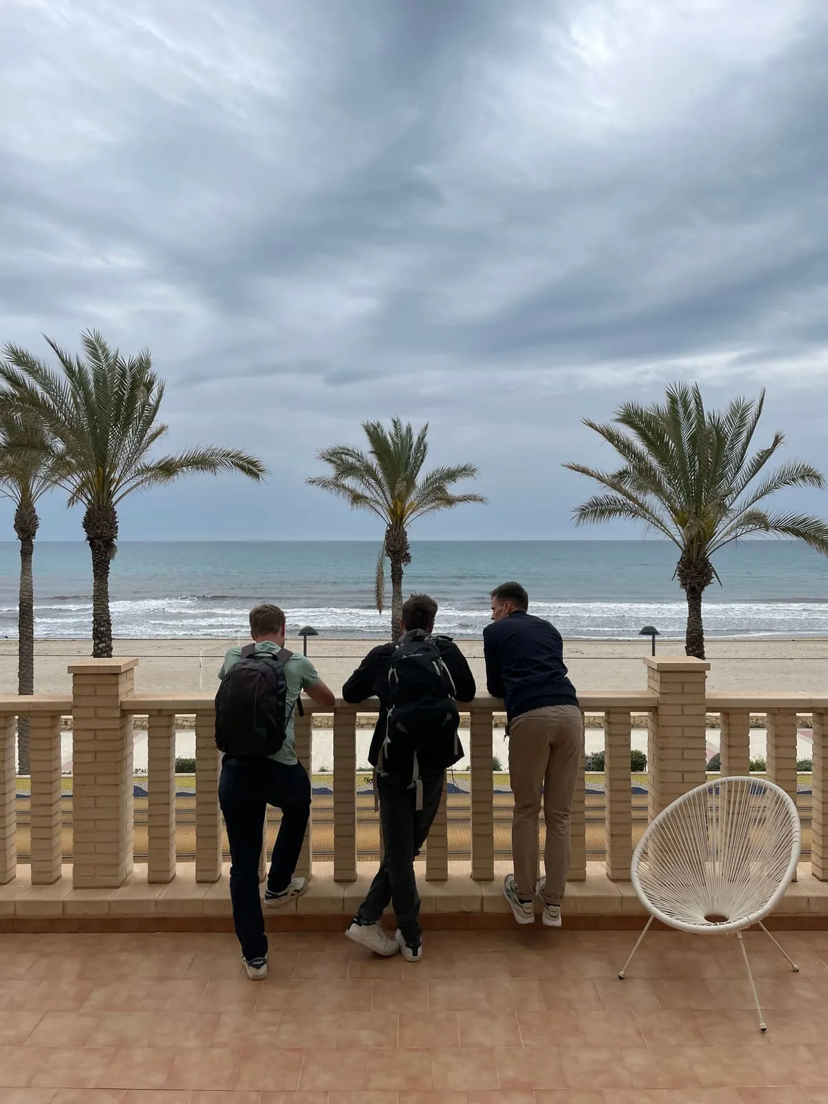
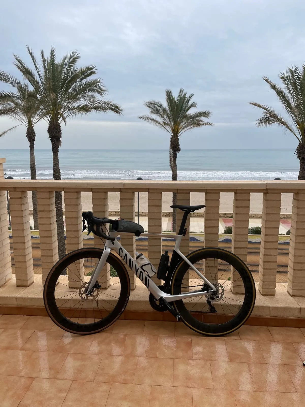
The nice thing about Alicante is how little time it takes to get into holiday mode. You land, you put your bike together, and somewhere between the first terrace and the first spin through town your head starts to switch off. The sea helps. So does the light. But mostly it is the promise of a whole different landscape waiting behind the coastline.
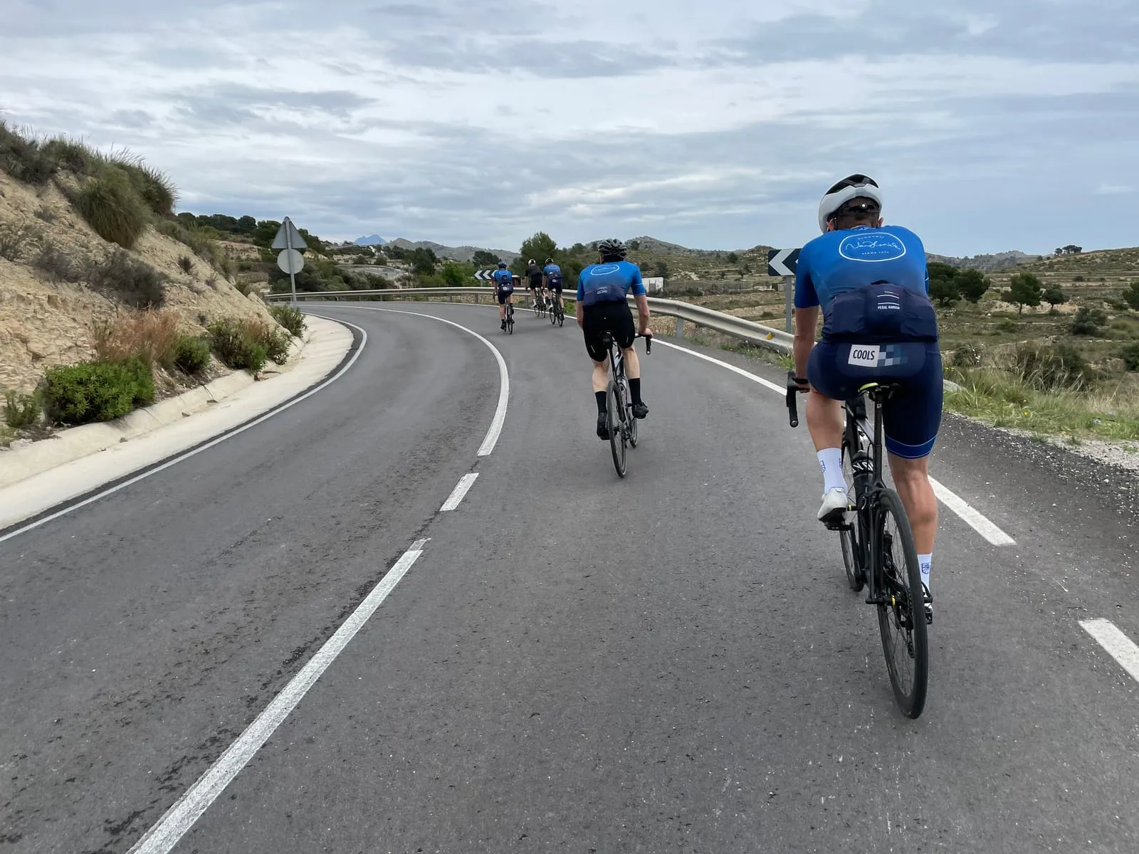
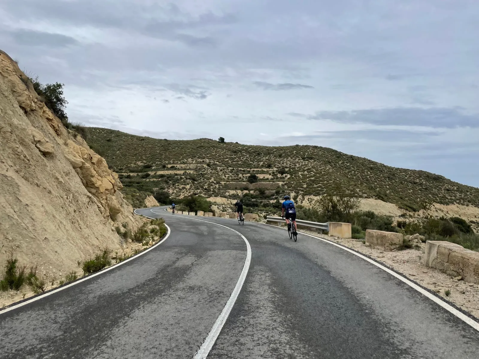
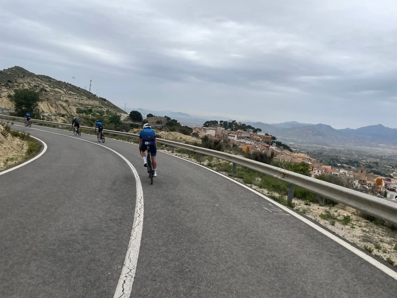
That may be the real pull of this region: it is easy to get into without ever turning flat. You can start gently, but you never have to look far for roads that get more interesting. The city fades, the traffic thins, and suddenly you are in that Spanish setting of dry slopes, small villages, wind, warmth and tarmac that lays itself across the landscape.
Out of town
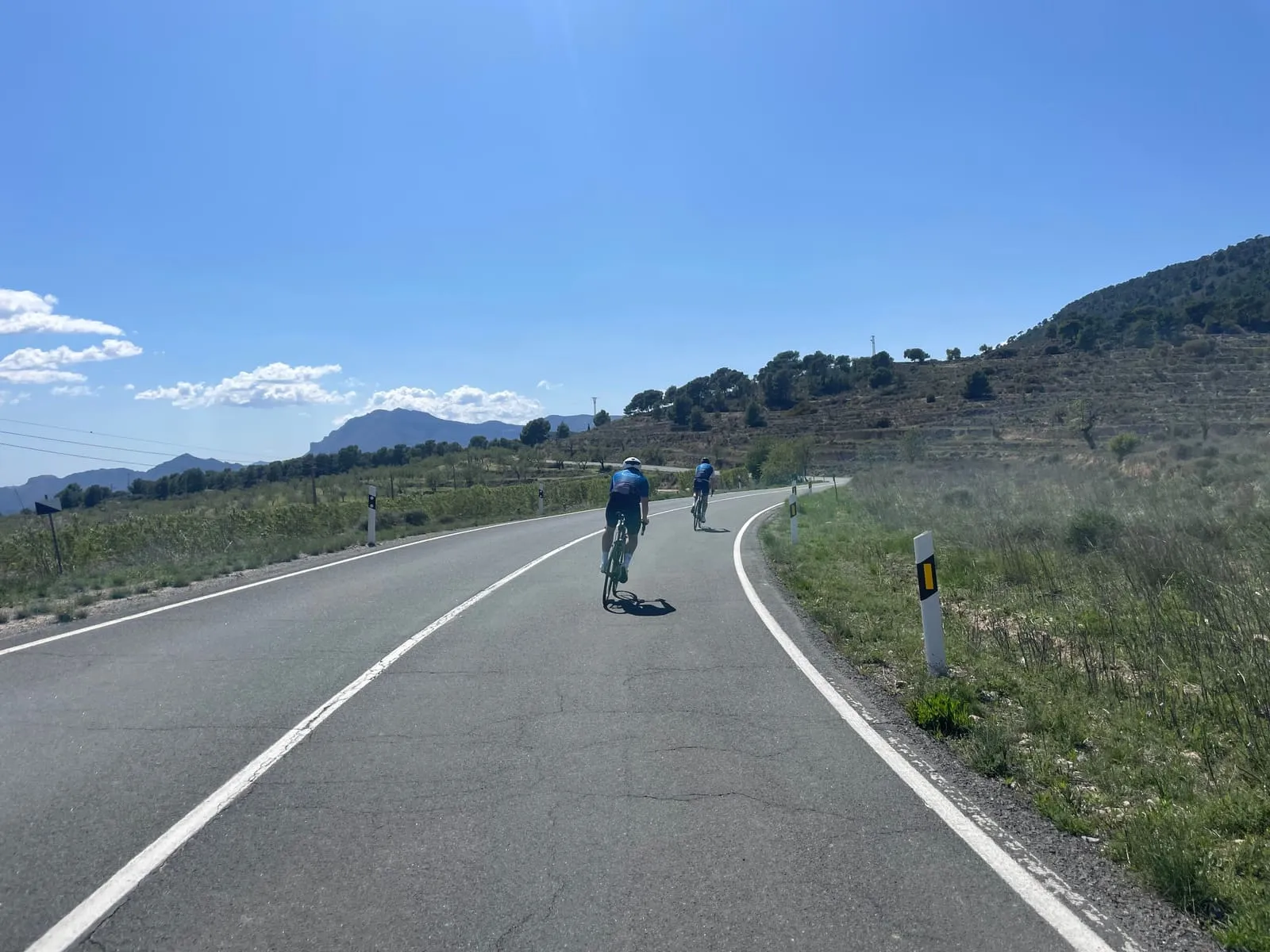
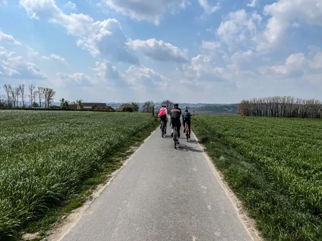
The first kilometres often decide how you will remember a trip. Alicante is generous there. You don’t ride straight into a postcard, but the landscape opens up layer by layer. First the edges of the city, roundabouts and suburbs. Then everything gets narrower, calmer, dustier. You feel the change more than you see it.
And then the real work begins. Not necessarily on a famous col or an iconic climb, but in road after road that never quite stays flat. The hills behind Alicante have a different kind of beauty from the classic cycling regions.
Klim 01
Port de Tudons
- Lengte
- 15,1 km
- Gemiddeld
- 4,9 %
- Hoogtemeters
- 745 m
- Top
- 1.024 m
- Max (500 m)
- 8,6 %
Klim 02
Port de Benifallim
- Lengte
- 11,6 km
- Gemiddeld
- 4,4 %
- Hoogtemeters
- 510 m
- Top
- 1.015 m
- Max (500 m)
- 9,0 %
Why Alicante works on a bike
Alicante is not a destination you can sum up in numbers alone. Routes, metres of climbing and segments get their place, of course. But the reason you want to ride here is just as much in how the days feel, and in the sun warming your cycling heart.
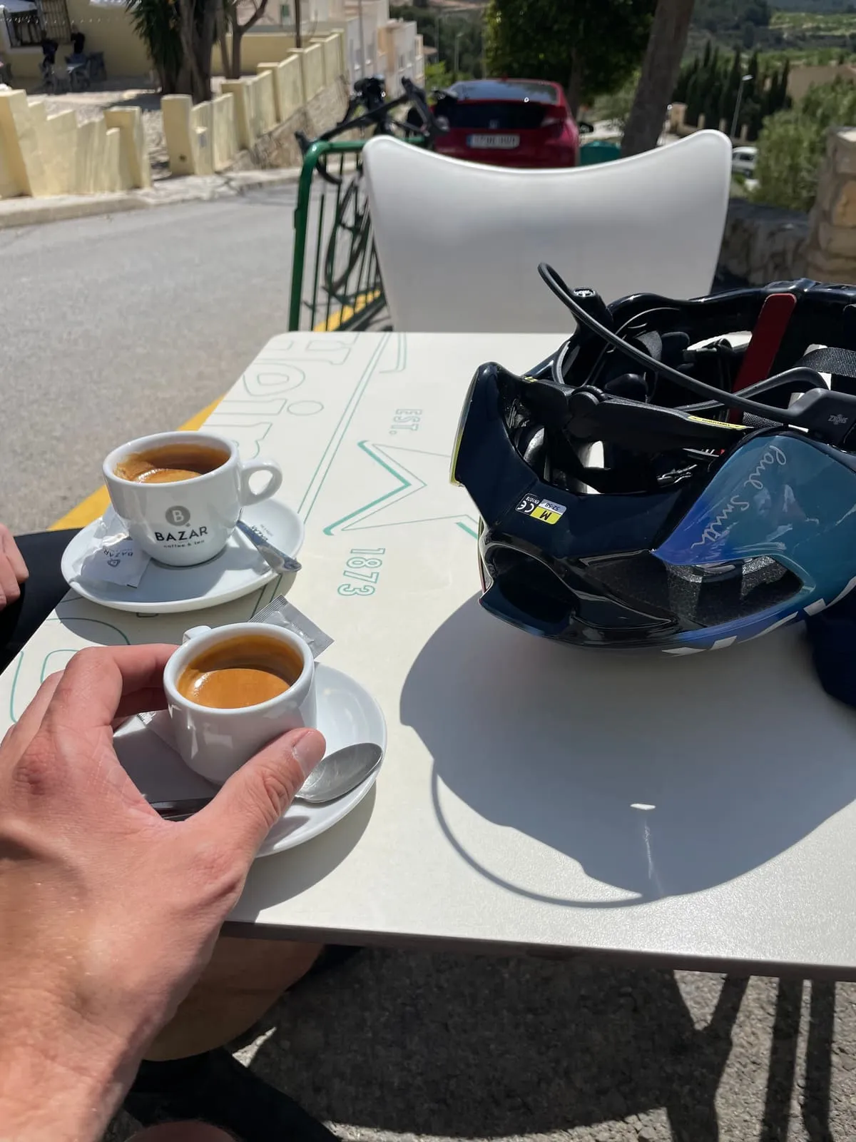
You head out gladly, because riding in the sunshine is simply nicer. You can explore the coast or go climbing. Admittedly, Alicante has no truly iconic summits, but there are plenty of slopes to conquer in the area. And plenty of affordable stops along the way, for coffee as well as lunch.
Off the bike
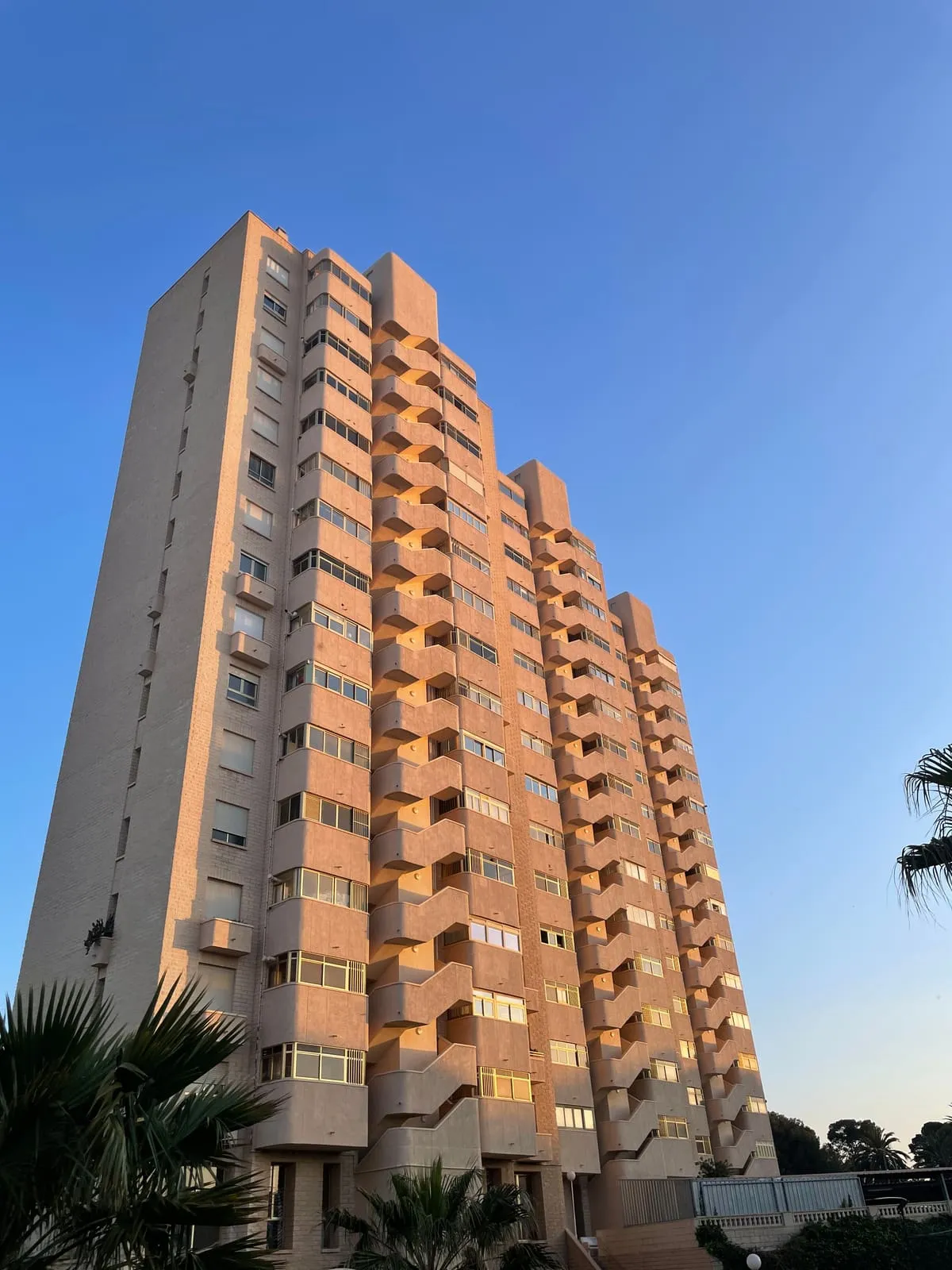
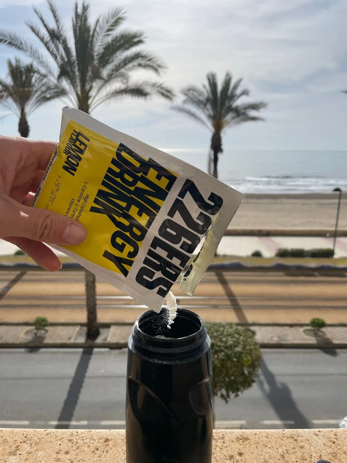
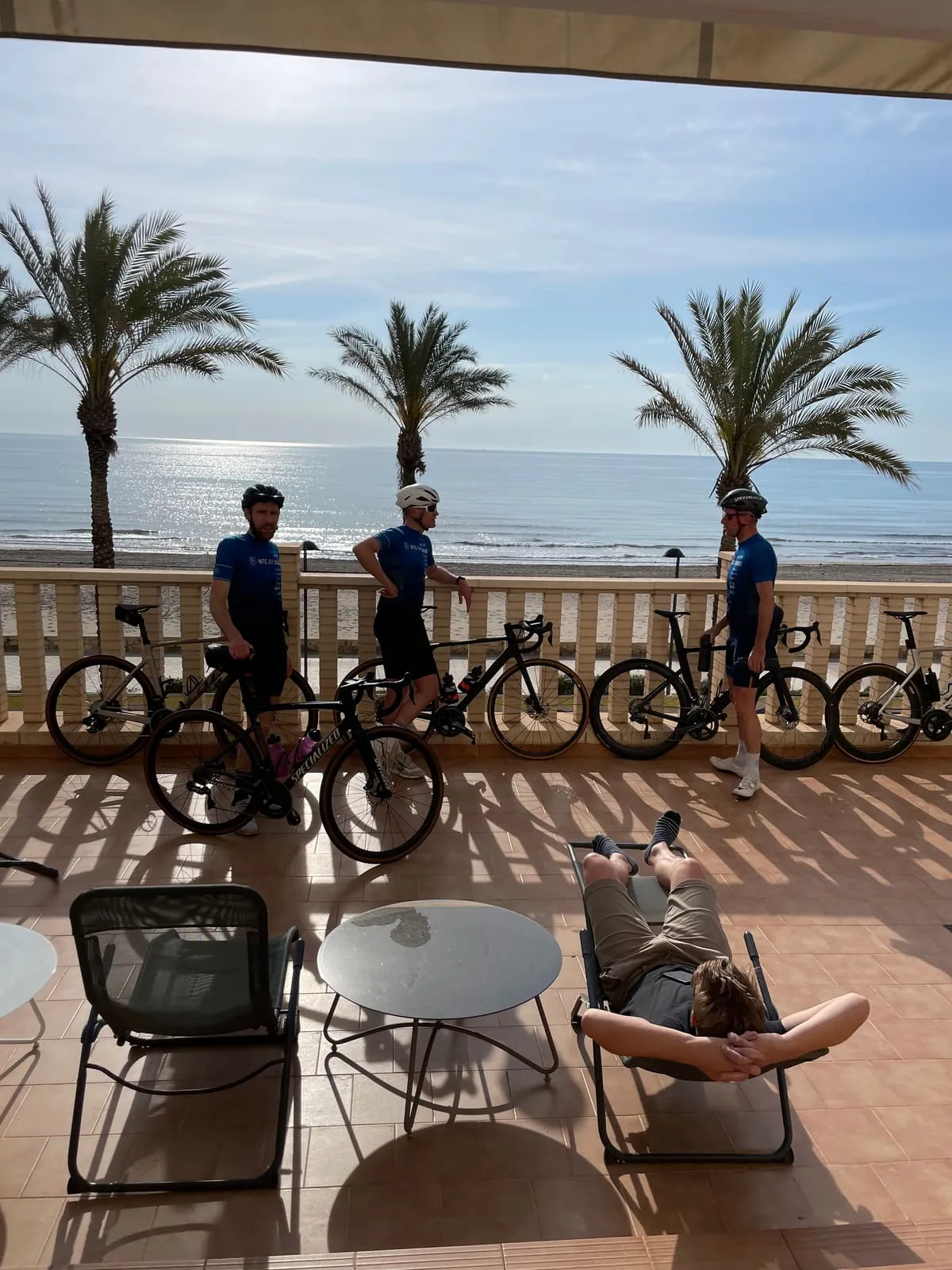
We stayed in an Airbnb on the coast. After a full day with your eyes on the road, it is a place to land quietly, looking out at the horizon.
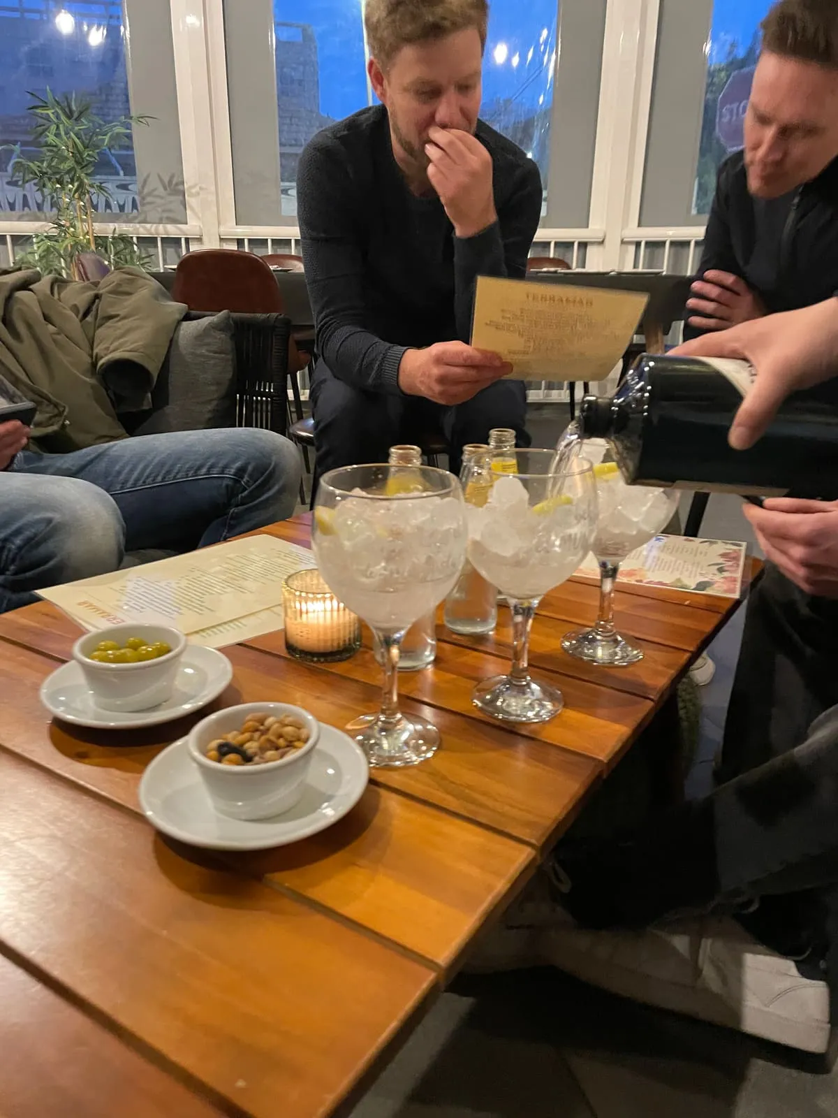
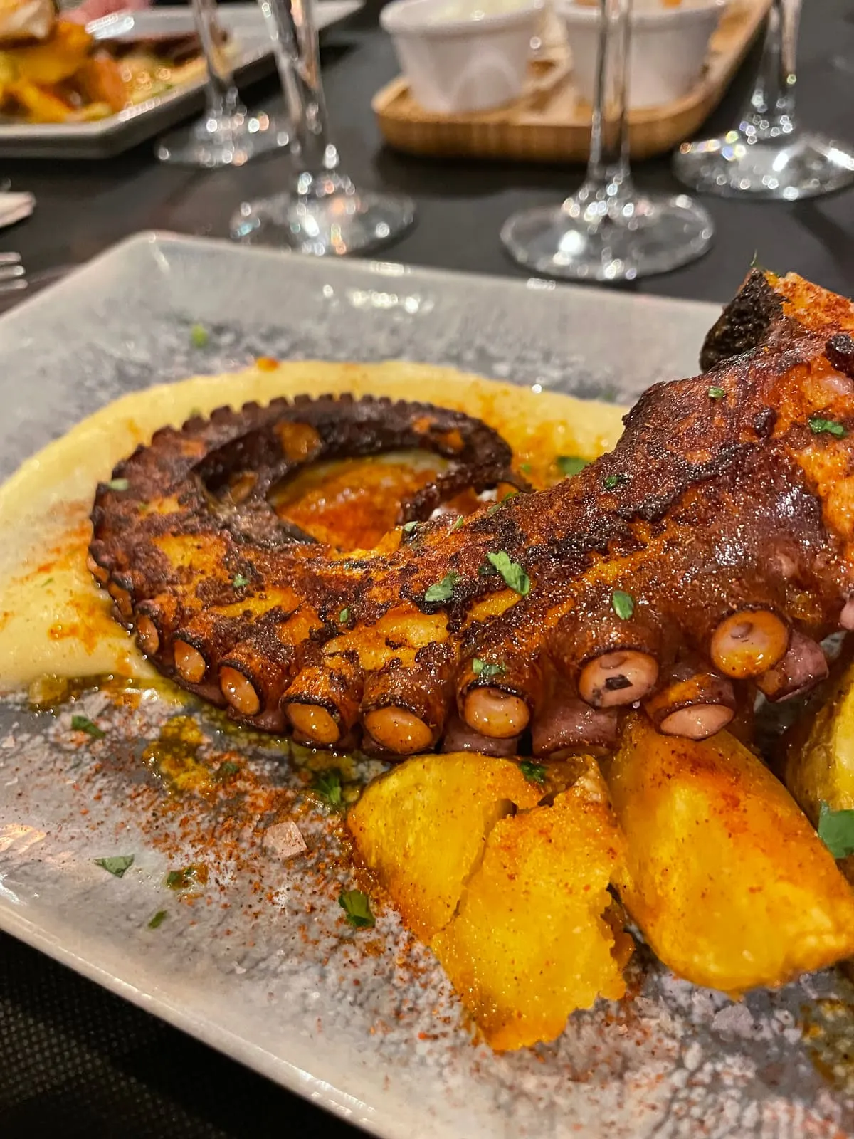
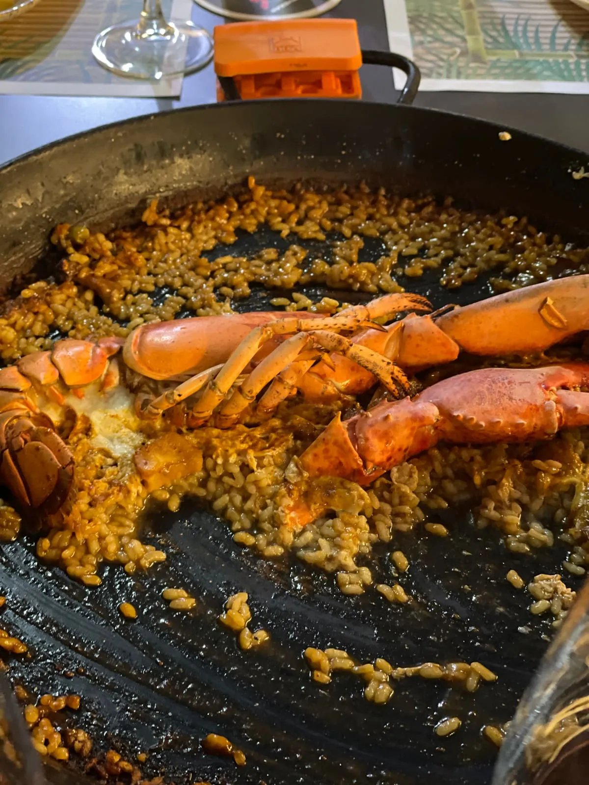
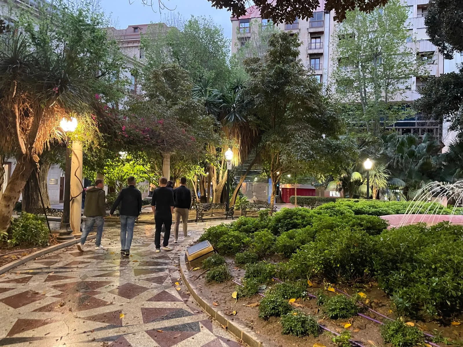
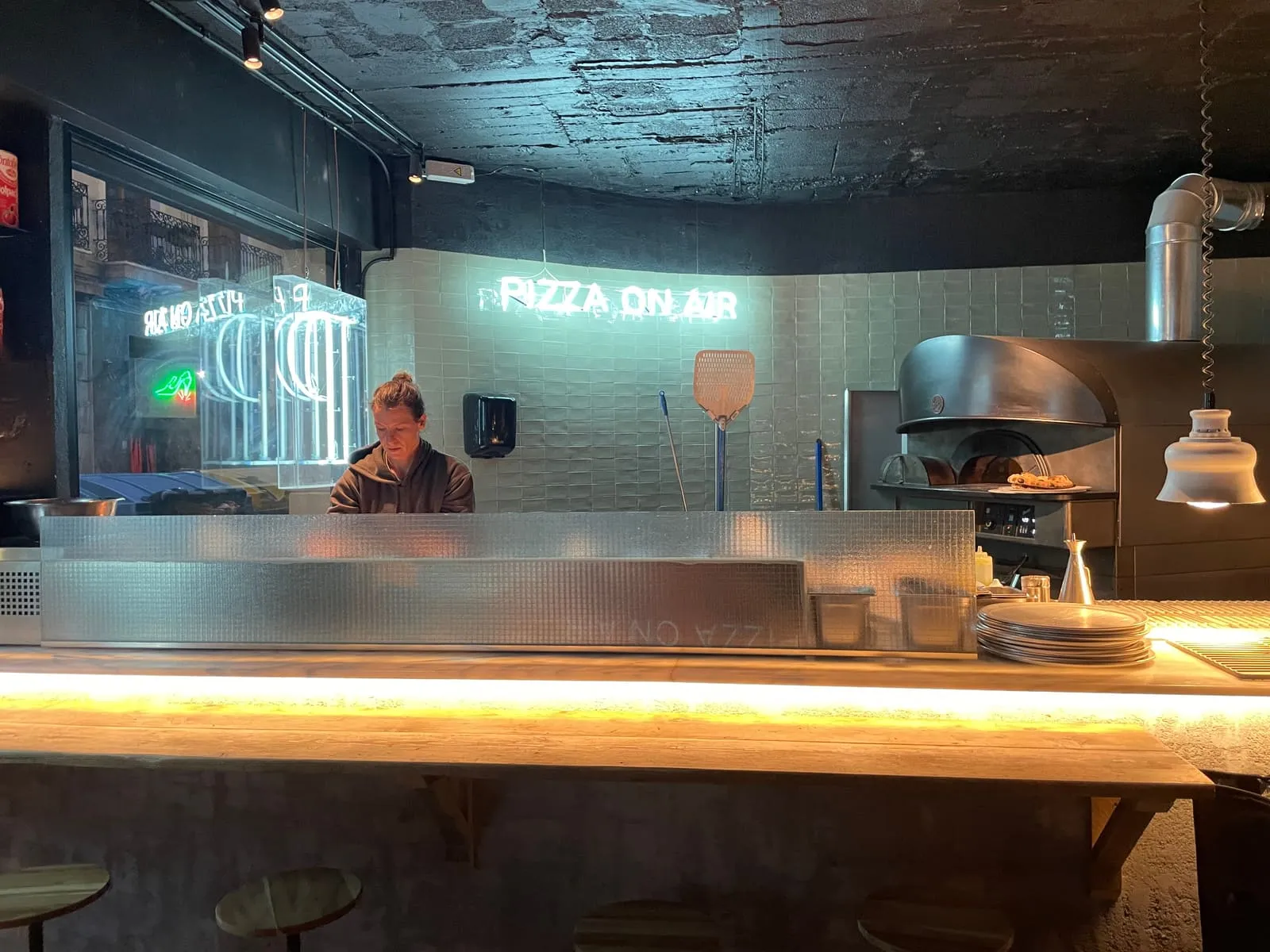
A good cycling trip is rarely carried by the riding alone. Certainly not in a place like Alicante. The rides make the days, but the moments around them give them colour. And with a city close by, you have more than enough choice.

The trip at a glance
- When: 27 to 30 April 2022
- Days: 4
- Base and stay: an Airbnb
- Routes: three rides of 73, 122 and 129 kilometres, with about 5,500 metres of climbing in total
- Main climbs: the Port de Tudons (1,024 m) and the Port de Benifallim (1,015 m)
- Ideal for: riders looking for sun, dry roads and a mix of coast and hills
- Less ideal for: anyone expecting only iconic cols or completely quiet roads
Conclusion
Alicante doesn’t need iconic cols to prove itself. It works because it brings a lot together in one fine cocktail: the sea, warmth, dry roads, great food, climbing, descents and good value. See you soon, Alicante.

Comments
No comments yet. What do you think?